









Home / Case studies / Automated Site Screening With AI Across 10 Councils
Case study · Property & land acquisition · Geospatial automation
Automated Site Screening With AI Across 10 Councils
An Australasian land acquisition consultancy needed automated site screening, because staff checked every rural site by hand in 10 council map viewers. Brainy Neurals built a web platform that uses map layer checks & an AI assistant to score each address & explain the result. Staff enter one address or a batch on a dashboard that pulls each council’s public planning layers, replacing the 10 viewers. Screening now starts from one lookup, & every result keeps the council data it came from for the team to see.
10 councils
Screened from one lookup
Same rules
Applied to every site
Shared store
Results the whole team sees

Published October 2026
The build at a glance
Brainy Neurals’ site screening build for a land consultancy comes down to four short answers.
What problem did this solve?
An Australasian land acquisition consultancy screened rural sites by hand in 10 council map viewers. No record survived of what each check had found.
What did Brainy Neurals build?
We built a platform that pulls a council’s public planning layers for an address. Fixed rules score the site, & an AI assistant explains the result.
What changed after go-live?
Site screening at the consultancy now starts from one address lookup instead of 10 map viewers. Every result keeps its source data & is shared across the team.
Who else could use this?
Any team that checks an address against many public layers before spending money could use it. Telecom towers, solar farms, data center sites & EV charging networks all fit.
| Detail | Value |
|---|---|
| Industry | Property & land |
| Sub-industry | Site acquisition consulting |
| Client | Australasian land consultancy |
| Engagement | Custom platform build |
| Timeline | Not published |
| Capabilities | Geospatial automation & an AI assistant |
| Delivery model | Remote team, cloud hosted |
Why did 10 map viewers slow every deal?
Ten map viewers slowed every deal, because each land purchase at the consultancy starts with a site screen. Without automated site screening, staff checked rural & lifestyle-zoned blocks one address at a time. The screen decides whether a property earns full land acquisition due diligence.
All 10 councils in scope publish their planning data through their own viewers, each under its own layer names.
Researchers described this problem long before the consultancy ran into it. Bishr wrote about data scattered across separate GIS systems as a barrier in 1998.[1] Malczewski’s 2006 survey counted over 300 refereed papers on GIS weighted scoring.[2]
The team still worked by hand, so it asked our AI agent development team to automate the manual pass.
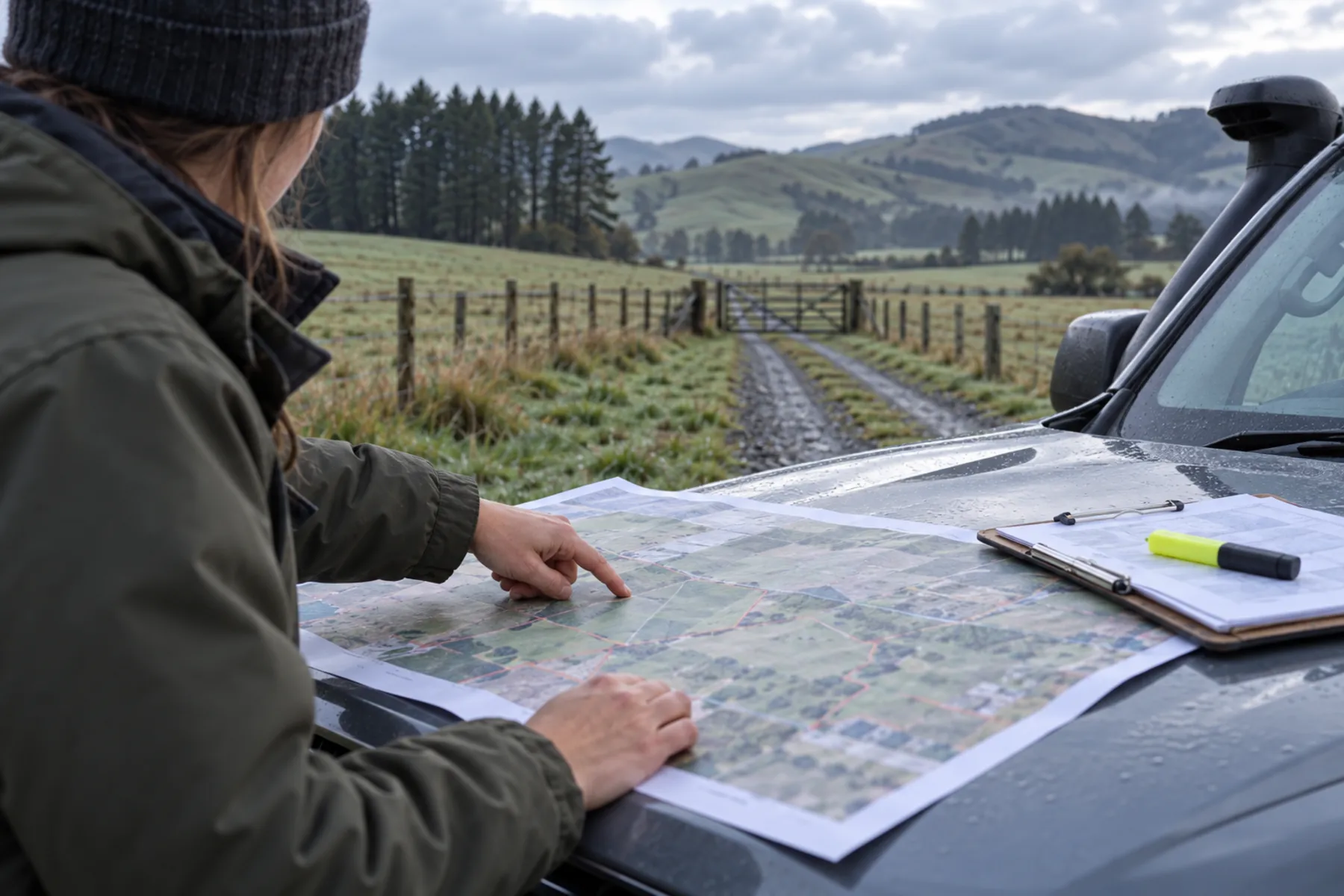
- An analyst searched each address in a council viewer before reading the zoning off its legend.
- One council’s flood overlay was another council’s hazard layer, so one risk got two readings.
- Findings went into a spreadsheet by hand, with no proof of what the map had shown.
- A missed overlay passed bad sites & a misread zone threw out good ones, with no way to tell which.
Why do the usual fixes stop short?
The usual fixes stop short because three of the four common site screening routes break down for teams working across many councils.
Each usual route stops at its own wall, & a multi-council team has to get past every one of them.
| Approach | Strength | Limit | Fits |
|---|---|---|---|
| Council viewers, by hand | Free & authoritative | One viewer per council, no record | Buyers inside one council |
| A commercial data aggregator | One search box everywhere | Vendor-named layers, late refreshes | Buyers checking one lot |
| Desktop GIS with an analyst | Rigorous weighted scoring | Each run is manual | Developers with GIS teams |
| Automated retrieval, fixed rules | Same criteria, sources attached | Needs a layer map per council | Many sites, many jurisdictions |
Every route shares one limit, since a flood overlay only marks what someone has modeled. A 2018 United States model put nearly 41 million people in the 1-in-100-year floodplain. The official flood maps counted 13 million.[3]
How did we design the screening system?
We designed the screening system as two working halves, with an AI assistant sitting on top. Brainy Neurals built this site screening platform for an Australasian land acquisition consultancy working across 10 councils.
A retrieval engine finds the property boundary & pulls four layer families from the council’s public map services. A fixed rule set then scores the reply.
The AI assistant came out of our generative AI development work. It answers plain questions about a score, using stored results only. Two decisions shaped everything that came after.
Each council keeps its own layer map, so a renamed flood layer means a config edit & no code change.
Rules first, model second
We decided against asking a language model to judge sites directly. A rule you can read is a rule you can defend to a client, & a model’s verdict is neither. So the model only explains a result, while the rules produce it.
One layer map per council
One schema for all 10 councils looked cleaner, yet it would break the first time a council renamed a layer. So each council keeps a small map from its layer names to our four families. The client’s own admins can edit each map.
A rule you can read is a rule you can defend to a client, & a model’s verdict is neither.
Which technology stack did we use?
Our technology stack has six layers, & we argued over each one during AI consulting sessions before it went in. Anything that decides a site’s result follows fixed rules, & a language model only writes answers that a person reads. None of it needs a GIS specialist to run.
Data sources
We used each council’s public map services, the same ones behind its viewer. They’re authoritative sources & free to query. We ruled out screen scraping & paid aggregators.
Data format
GeoJSON holds the property boundaries & the overlay polygons. The format is open, & every geometry library reads it. We ruled out rasterized map tiles as a format.
Core analysis
Geospatial intersection feeds a configurable weighted scoring model. Both give the same answer every time & can explain it. We ruled out a model guessing from imagery.
Assistant layer
Language model agents run under an orchestration framework & read stored results. They give plain answers that cite the data. We ruled out letting the assistant query councils live.
Data store
A relational database holds each result with its source data. That gives shared visibility & one audit trail. We ruled out spreadsheets kept by each user.
Application & hosting
Python services run a two-role web dashboard with batch input & exports, hosted in the cloud. Nothing needs installing, & batches run unattended. We ruled out building a desktop plugin instead.
How does automated site screening score one address?
Each address moves through five steps on its way from the dashboard to a screening result.
Contours are one of the four layer families the engine reads, & they have an older story. Contour lines were first drawn at full scale for a Dutch riverbed around 1730, & land got them decades later.
The zoning gate runs before any weighting, so a site in the wrong zone fails without earning a score.
- Enter the address. An employee types in a property address, alone or in a batch, & picks its council.
- Resolve the boundary. The engine matches the address to a parcel polygon from the council’s cadastral layer.
- Fetch the layers. Council map services return the layers for zoning, hazards, contours & services, each stored with its query.
- Gate, then score. The scoring model applies the zoning gate first, then weights the other families into one score with every factor shown.
- Read the result. The dashboard shows the outcome with a plain summary, & the row exports to Excel with the assistant on hand.
What broke once the data arrived?
Four things broke once real council data arrived, & two of them failed without raising a single error.
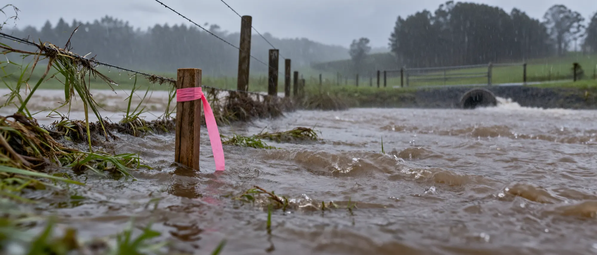
One hazard, 10 names
Every council named & stored its flood hazards differently. Our first mapping matched on names & silently skipped whatever it couldn’t match.
Empty answers that looked clean
Two councils served boundaries in a different projection from their overlays, so the intersections came back empty. Empty read as no hazard, which was wrong, & nothing flagged it.
Rural addresses that wouldn’t resolve
Lifestyle blocks often span several titles, & rural addresses can sit far from the parcel they name. One address matched three parcels, or none at all.
Batches that stopped halfway
A batch of addresses tripped the request limit on one council’s endpoint, & the run died partway. That’s when we brought in geospatial engineers through our hire AI developers service.
How did we fix each problem?
We fixed each problem with its own change, & none of the fixes needed a bigger model.
An empty intersection now returns a no-data flag, & only a real overlap test can return no hazard.
Layer maps by meaning
Every council now has its own layer map, held as config the client’s admins can edit. An unmapped-layer report runs on every fetch, so a renamed layer shows up as a gap.
Two answers for an empty reply
Every geometry is reprojected into one coordinate system before any intersection. An empty reply now returns a no-data flag, & only a real overlap test can return no hazard.
Every parcel the address touches
The resolver returns every parcel an address touches & screens each one. Ambiguous matches go to a review queue with the candidates listed.
Batches that resume
The batch runner queues work per council & backs off when a server pushes back, then resumes where it stopped. A partial run can never mark a site as passed. Prove this retrieval half first in any AI proof of concept.
What changed once the team switched over?
Site screening at the consultancy changed shape once the team switched over, though we haven’t measured its speed.
| What | Before | After |
|---|---|---|
| Council viewers opened per property | Up to 10, one at a time | None, one address lookup |
| Record of what was checked | A spreadsheet cell typed by hand | Every result stores its layers & query |
| Criteria applied | Each analyst’s own judgment | The same weighted rules for every site |
| Who can see a result | The analyst who ran it | Every authorized employee |
We haven’t published a time saving for this build. The client reports faster & more consistent screening, & we won’t print a number we haven’t measured.
Day to day, no analyst decides what counts as a flood, because the layer map settled that once for everyone. When a client asks why a site failed, the answer is a stored query & polygon.
Still opening council viewers one by one?
Tell us which councils & layers your team checks today. We’ll map how this build would fit your sites, or you can start with an AI readiness check first.
What does the team run today?
Today the team runs automated site screening across 10 councils, with employees sending single addresses or whole batches. Every result lives in the shared store with its source data, so anyone authorized can reopen a colleague’s screen.
The parcels are rural blocks of a few hectares (5 to 10 acres), land we also meet in our AI in construction work. Admins hold the layer maps & rule weights. Employees run screens & ask the AI assistant what a score means.
The councils changed nothing on their side, since the platform only reads what they already publish.
What would we do differently?
We’d change four things on the next build, & two of those lessons were expensive.
Map by meaning from day one
Name matching felt like a shortcut, & it turned out to be a trap. We lost days to layers that existed & never showed up.
Treat empty as a question
An empty result isn’t a clean result, & a screen that can’t tell them apart passes the wrong site. We now log & show the difference.
Keep rules readable by clients
Weights in a config owned by admins got argued over & improved. Weights buried in code get trusted without question.
Build for batches early
Real screening arrives as a list, never one address at a time. Brainy Neurals added batch input & resumable runs early, & the single-address path came free.
An empty result isn’t a clean result, & a screen that can’t tell them apart passes the wrong site.
Where else does this pattern fit?
Automated site screening is software that scores addresses against each authority’s public planning layers, used wherever rules change by jurisdiction.
The same four-family check runs on a solar parcel once the layer map & rule file are swapped.
| Industry | Equivalent problem | What changes |
|---|---|---|
| Telecom tower site acquisition | Sites checked against zoning, height, heritage & airspace layers per council | Height & setback tests join the rules |
| Solar & wind developers | Constraint screening across hazard, ecology, grid & access layers | Layer families change, scoring stays |
| Data center site selection | Zoning, flood, fiber & power corridor checks across jurisdictions | The services layer becomes the gate |
| Environmental consultants | Contaminated land registers & waterway buffers looked up by parcel | Registers replace planning overlays |
| EV charging networks | Many small sites screened against parking, zoning, grid & traffic layers | Batch mode carries the load |
Porting the pattern takes a layer map per jurisdiction & a rule file per asset. The same holds for a depot in AI in logistics work or a clinic in AI in healthcare work.
What do buyers ask before repeating this?
Buyers planning a similar build ask about two things, checking a site & repeating the work.
Checking a site
How do I check zoning & overlays for a property?
Open the council’s map viewer & search the address, then read the zone & each overlay against the parcel. That works for a handful of sites. Across many councils, automated site screening fetches the same layers from council map services & records what it found.
Can a property outside a flood overlay still flood?
Yes, it can, & properties outside overlays often do. A flood overlay marks the floodplain a council mapped at one chosen probability, & the map stops where the modeling stopped. Treat an overlay as a floor, then read the contours & drainage.
Can council GIS data be queried automatically by address?
Yes, where a council publishes its layers through public map services, which usually feed its own viewer too. Check each council’s terms of use first. Then resolve the address to a parcel boundary before you query any overlay.
Repeating the work
How long does land acquisition due diligence take?
The screen is the first gate, & it’s short. An automated screen returns as fast as the council servers answer. Full due diligence still takes as long as your advisers need, since the screen only picks which sites deserve it.
How long does it take to build a site screening system?
A retrieval engine for a few councils is a proof of concept measured in weeks. Each added council is mostly a layer map plus testing, & the assistant layer follows once the rules settle, so plan the budget per council.
What does a site screening platform cost to build?
Cost tracks the number of authorities & rules, whether you want an assistant & how often councils rename layers. An AI readiness assessment settles those, & we’ll quote a fixed scope after it.
Tell us where your screening stalls
Tell us what you screen & where it slows down. One reply comes back from the person who would architect your build, with no sales sequence after it.
Services behind this case study
Six Brainy Neurals services went into this build, from the AI assistant to the geospatial engineers.
AI agent development
The assistant layer that explains a screening result & answers follow-up questions from stored data.
Generative AI development
Language model agents that summarize what the layers showed & never produce the verdict.
AI consulting
Deciding on rules first & model second, then mapping each council layer to its family.
AI proof of concept
Proving retrieval on a few councils before committing to a rollout across all 10.
Hire AI developers
Geospatial & backend engineers added to your team for the layer maps & the batch runner.
AI in construction & civil
Plan review & site checks for teams that buy land or build on it.
If you’re earlier than a build, an AI readiness assessment is the right first step. You can also read how our engagement models work & browse the industries we serve.
Similar case studies
None of our published case studies shares this exact shape yet, so here are three built under the same rules.
AI Diet Assistant for Gastroenterology
A clinical diet assistant built for gastroenterology patients & for the clinicians guiding them.
Personalised AI Meal Planning for Chronic Care
Meal plans generated inside clinical constraints for people managing long-term conditions.
Overhead Line Geometry Measurement
Overhead wire geometry measured from a moving vehicle for a rail infrastructure contractor.
Cite this case study
Barot, Nandni & Patel, Ronak. Automated Site Screening With AI Across 10 Councils. Brainy Neurals, September 2026. https://brainyneurals.com/case-studies/automated-site-screening-land-acquisition/
Sources cited on this page
- Bishr, Y. (1998). Overcoming the semantic and other barriers to GIS interoperability. International Journal of Geographical Information Science, 12(4), 299-314. https://doi.org/10.1080/136588198241806
- Malczewski, J. (2006). GIS-based multicriteria decision analysis: a survey of the literature. International Journal of Geographical Information Science, 20(7), 703-726. https://doi.org/10.1080/13658810600661508
- Wing, O. E. J., Bates, P. D., Smith, A. M., Sampson, C. C., Johnson, K. A., Fargione, J., and Morefield, P. (2018). Estimates of present and future flood risk in the conterminous United States. Environmental Research Letters, 13(3), 034023. https://doi.org/10.1088/1748-9326/aaac65